
Costa Rica has Pacific and Caribbean coastlines, with beach towns, surf breaks and protected coastal habitats that suit very different trips. Choose a beach for the activity you actually want: a beginner surf lesson, a walk, a boat departure or a quiet afternoon. An attractive photograph does not establish safe swimming conditions.
How much coastline does Costa Rica have?
The Costa Rican Tourism Board’s surfing guide gives approximately 1,466 kilometres, or 908 miles, of coastline. Treat this as an approximate tourism figure: coastline measurements depend on how bays and other features are measured. The two coasts are not interchangeable, and travel between them takes planning.
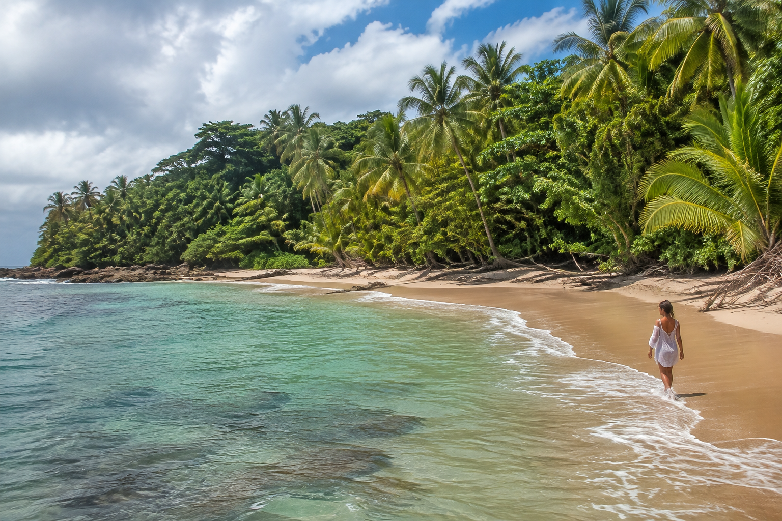
Compare the actual route from your airport or accommodation, not the straight-line distance on a map. Allow time for the final road and parking. A beach that is convenient from Liberia may be a poor day-trip choice from San José. Our guides to beaches from Liberia Airport and beaches from San José Airport help with that decision.
Playa Flamingo: a Guanacaste beach base
Playa Flamingo is a northern Pacific option in Guanacaste. The Tourism Board includes Flamingo, also called Blanca, in its Guanacaste attractions guide. It belongs in an itinerary built around that coast, rather than being described as a Caribbean destination or a beach beside San José.
Before booking, identify whether accommodation is actually on Flamingo beach or in a neighbouring community, and how you will get between the lodging, beach and boat departure point. Ask a boat operator for the exact meeting location and inclusions. Marina services and a sandy shoreline serve different purposes; neither promises calm water on your travel date.
For a simple beach visit, check parking, shade, toilets and your return transport. Carry drinking water and arrange a secure place for valuables. Choose a swimming area only after checking the day’s conditions with competent local staff.
Surf spots: choose by ability and conditions
The Tourism Board identifies Guanacaste, the Central and South Pacific, and the Caribbean as distinct surfing regions. Examples include Tamarindo and Playa Grande in Guanacaste, Jacó and Hermosa in the Central Pacific, Pavones in the south, and Puerto Viejo’s Salsa Brava on the Caribbean. Its guide specifically treats Salsa Brava as an experienced-surfer break.
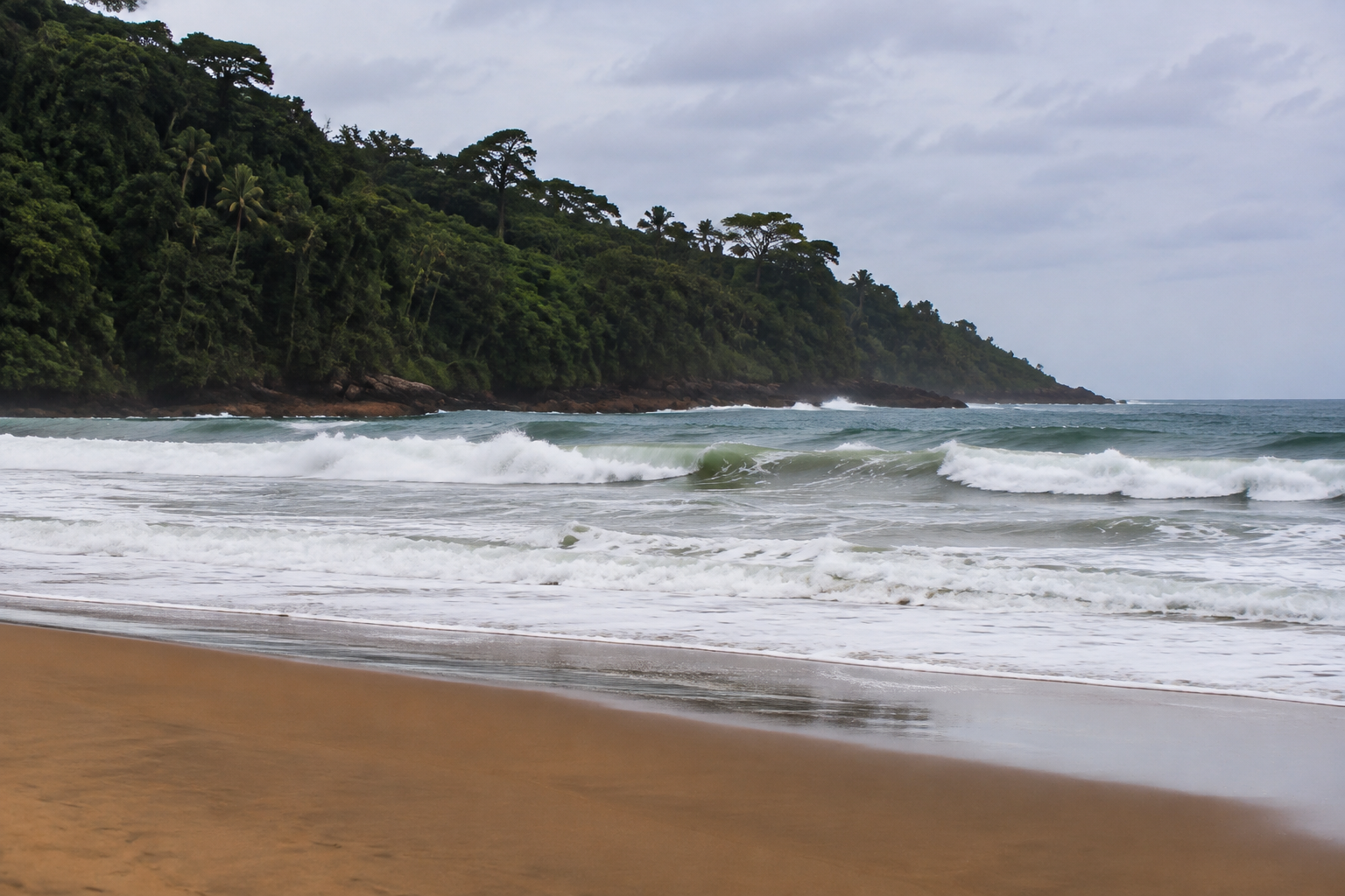
A famous break is not necessarily a suitable first lesson. Ask an instructor about the entry point, bottom, current, other water users and the conditions expected during your lesson. Explain your real experience and swimming ability. A lesson at a different beach, or postponing it, can be a better choice than forcing a planned session.
For experienced surfers, compare the required swell, tide, access and local rules before travelling. Do not assume a nationally promoted break is open or accessible by the same route throughout the year. Protected-area access is a separate matter from surf quality.
Enjoying the beach without overstating health benefits
A beach visit can provide time outdoors, a gentle walk and an opportunity to relax with friends or family. Those are sensible reasons to go. This guide does not claim that seawater cures illness, that sun exposure is a treatment, or that swimming at every beach is safe.
You can enjoy the coast without entering the water. Pick a shaded place for a picnic, take photographs from a safe viewpoint or walk an appropriate route while leaving room to return before darkness or a changing tide. Match the outing to everyone’s mobility and heat tolerance.
Make safety part of the choice
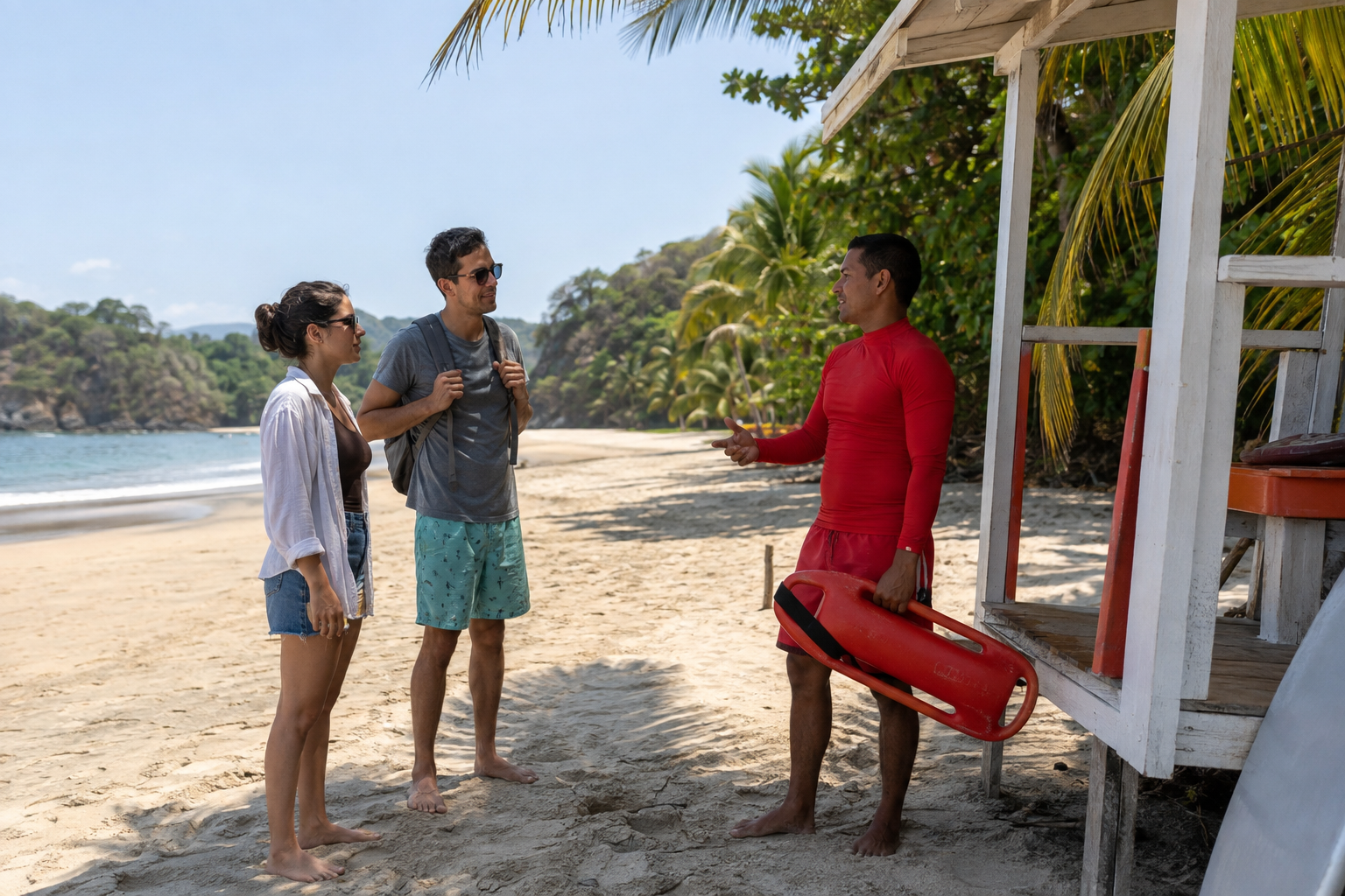
Read signs, respect closures and avoid treating an empty beach as proof of safety. Ask about currents and wildlife hazards before entering. A protected bay can still have changing conditions. Keep children closely supervised and choose activities with appropriate equipment and supervision.
Read our rip-current guide before a swimming trip and the weather guide when choosing travel dates. Check conditions again on the day; a general article cannot replace local warnings.
Official tourism sources checked September 8, 2026. This is a planning guide, not a live surf forecast. Images are illustrative.